Import Data into QGIS
DMI has developed a QGIS plugin to easily import data into QGIS which allows you to filter/select data based on parameters, stations all from within QGIS.
As an alternative to using QGIS plugin below are steps on how to import data into QGIS without using the plugin.
OGC API-Features Import
Below you can find a step-by-step guide as well as videos on how to import data from the DMI open data API's into QGIS for the following services:
- metObs
- oceanObs
- ligthningdata
- climateData
Before you begin you need to make sure that you have QGIS v. 3.16 or newer since these are the only versions to support the OGC API - Features format.
You also have to make sure, that your QGIS uses the appropriate map projection - WGS84 (CRS84) / EPSG:3857.
Video Guides
How to get data from DMI Open Data to QGIS
How to add observation data from DMI Open Data to QGIS
Step-by-Step Guide
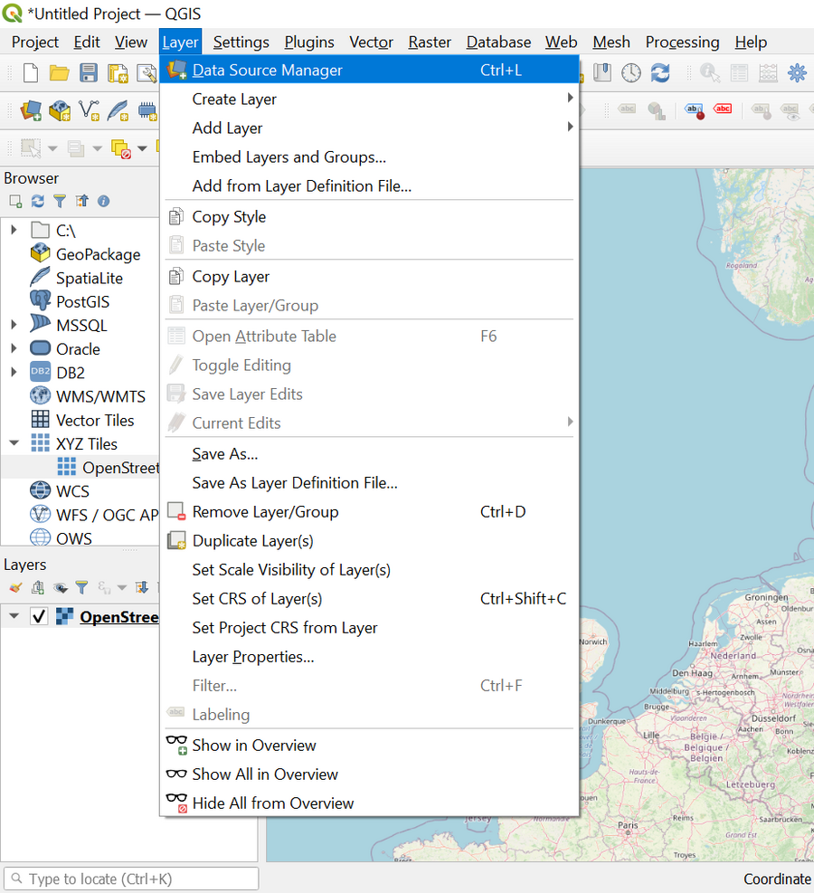
Open the Layer menu in the top bar and choose Data Source Manager.
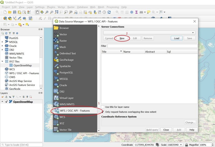
- In the popup window choose WFS / OGC API - Features from the menu on the left hand side.
- To add a new server connection click New.
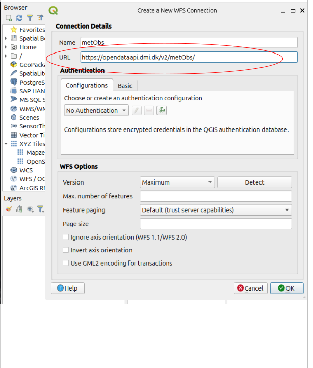
- Enter a custom name for the connection and enter the landing page URL of the API you wish to connect to.
- Click OK.
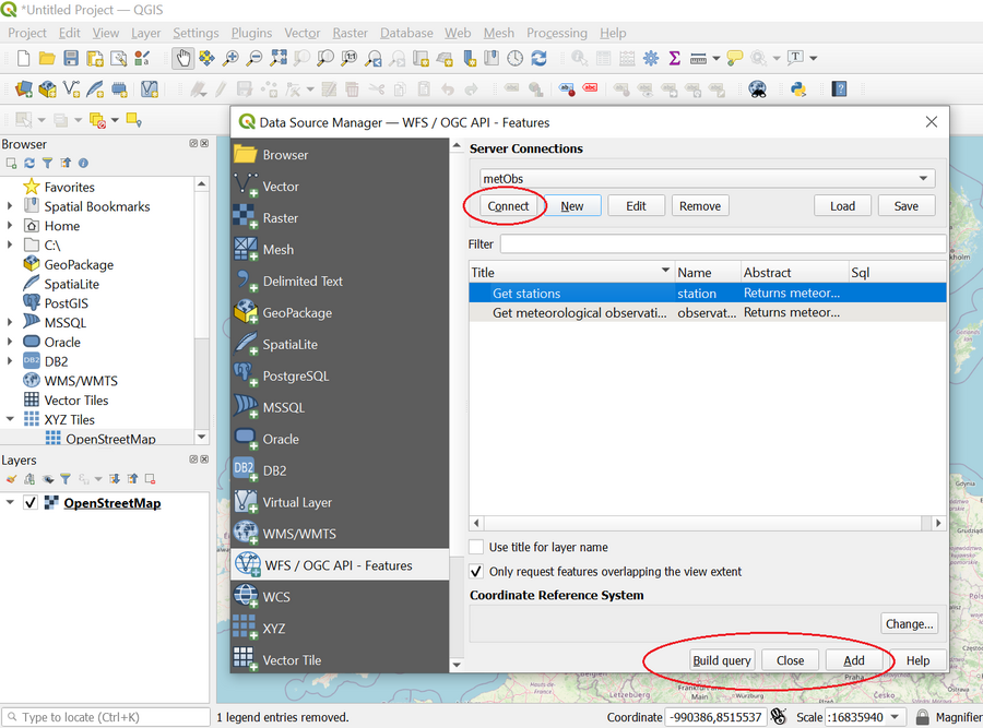
- Click Connect in order to access the features of the chosen service.
- If you want to use the station feature as a layer on your map, then please select it on the features list and click Add followed by Close.
- If you want to use the observation feature as a layer you most likely have to build a data query since there are too many observations to practically display in QGIS.
- To create a data query mark the observation feature on the list and click Build query.
- Please note that the QGIS Query Builder makes it possible to filter your query server side if you use time and date.
- All other filterings you make in your query are handled client side.
STAC-API file Import
This step-by-step guide shows how to import radar data for composite and pseudo CAPPI files from DMI's STAC-API into QGIS.
Please note that it is not possible to directly import volume data from the radar data service into QGIS.
Step-by-Step Guide
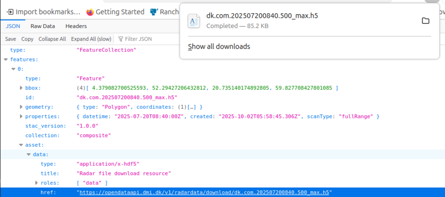
- Download a radar data file from one of the collections in the Radar data API

- Find the file on your hard disk
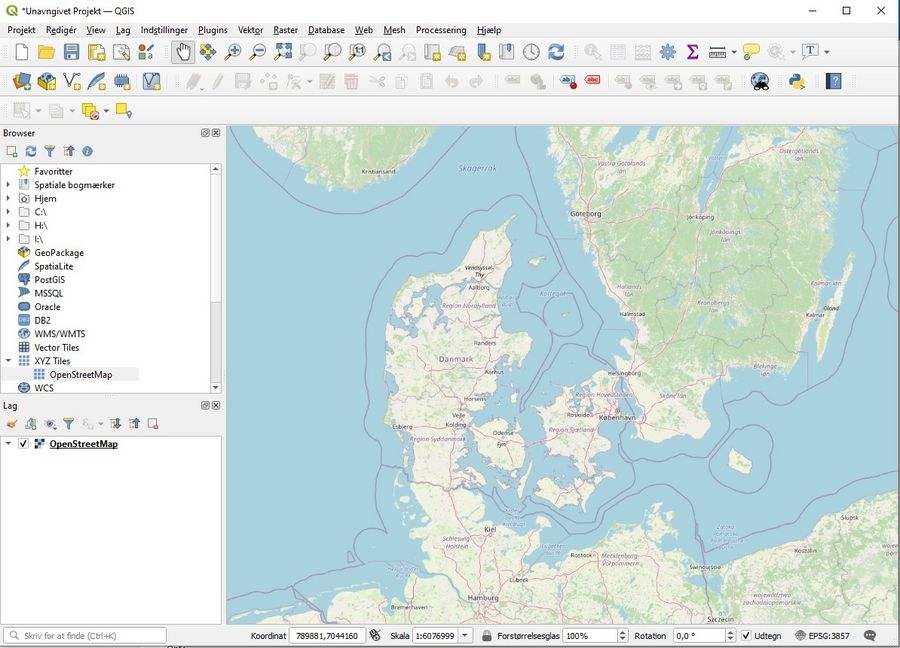
- Open a QGIS project
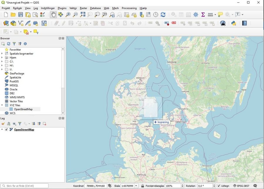
- Drag and drop the file into the map
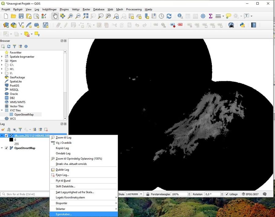
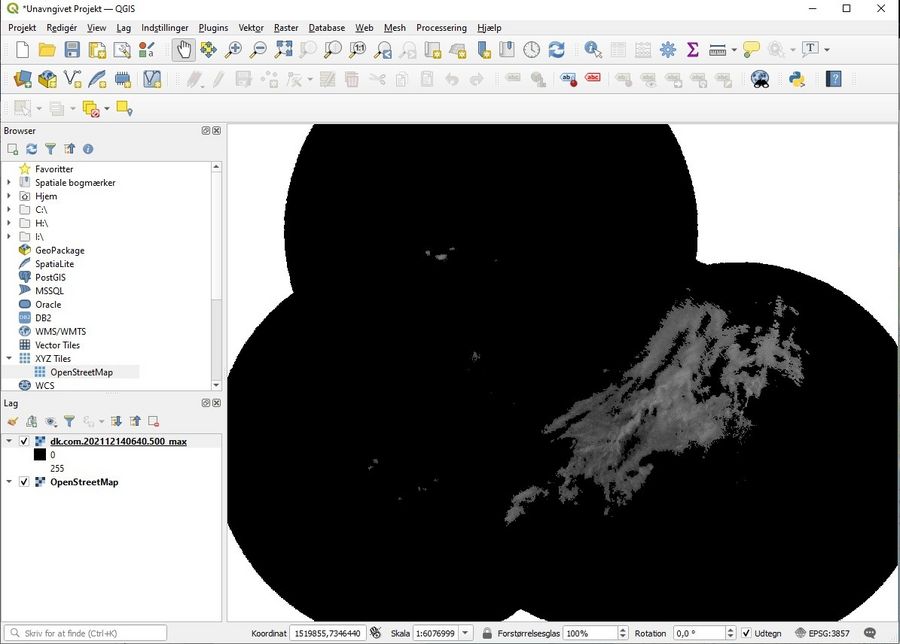
- Find the files properties, by right clicking on it

- Choose the following color setup to make the radar observations visible.

- Finally, you can see the actual precipitation from the radar file.
Grid Identification Layers
Below you can download a 10x10 or 20x20 km grid identification layer for QGIS. The layers allow you to see the exact geographical coverage of each cell in DMI's gridded climate data.
You can also find a video guide below on how to add the layers to QGIS.


